Access to our holiday home in Southern Ardèche
Some indications to facilitate your access to our holiday home
in southern Ardèche.
First beware of GPS which can lead you in impracticable paths ..!

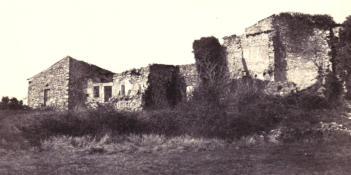
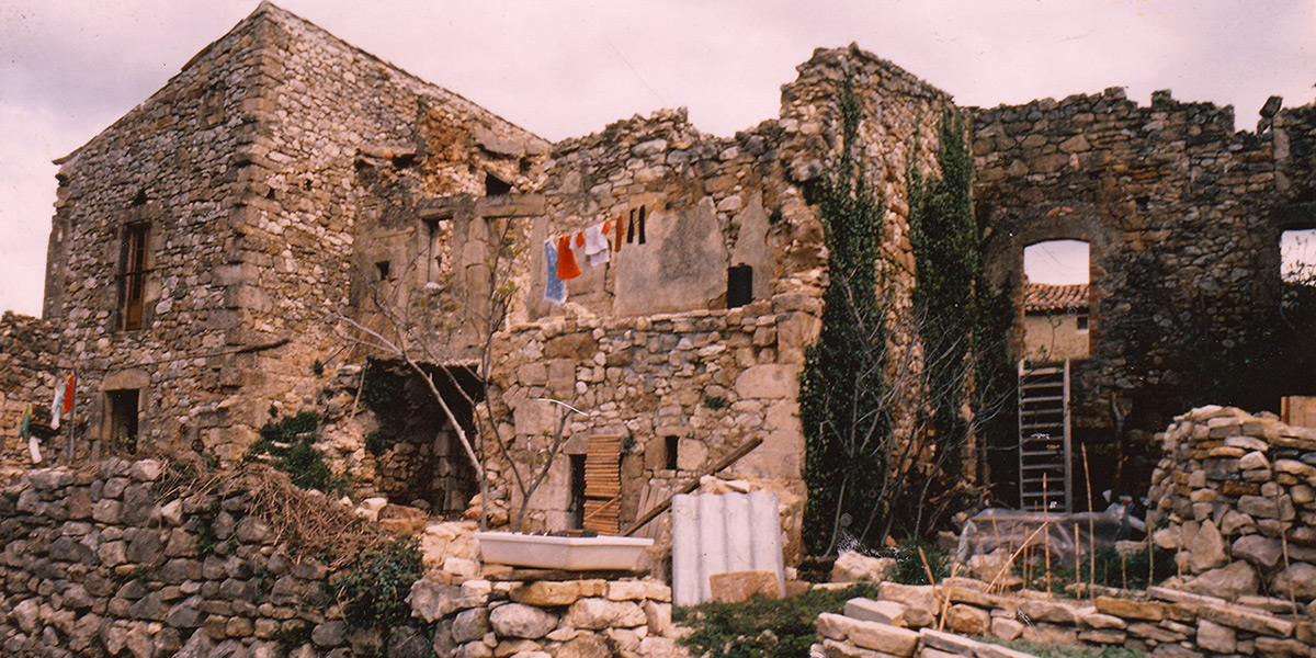
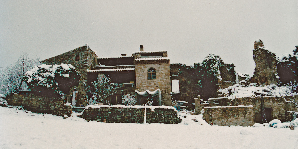
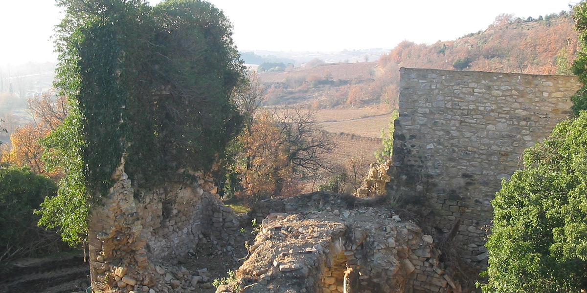
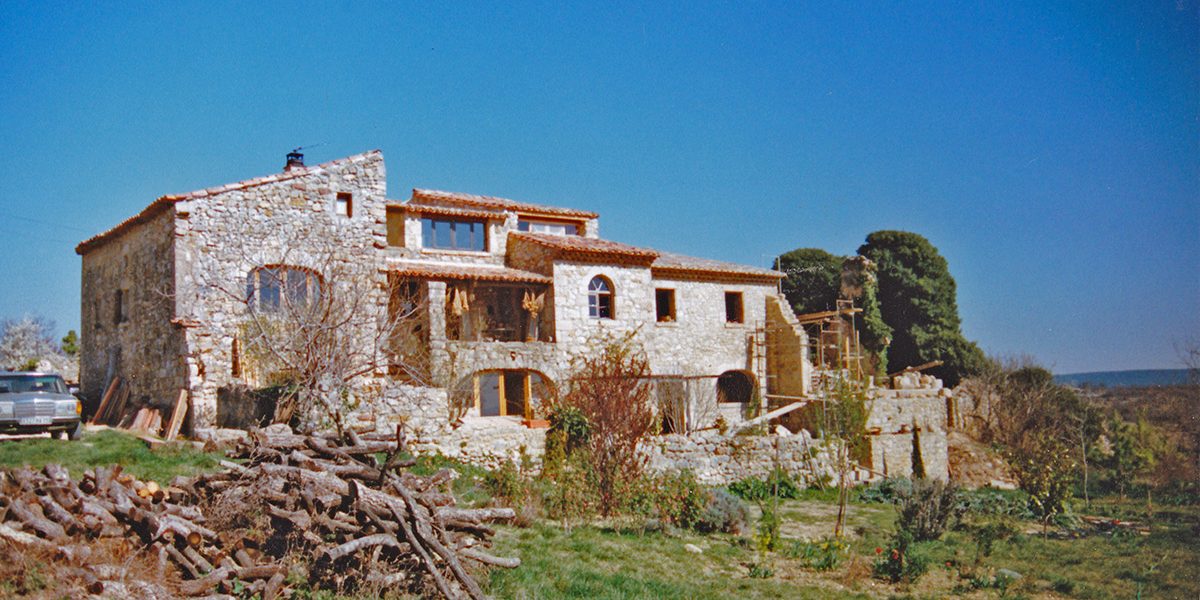
It is likely that the dozen family lived in this hamlet until the end of the 17th century … It was undoubtedly gradually abandoned in the decades that followed and eventually fell into ruin. The first three photos of the slideshow, date from the acquisition of the very first part of our property.
As you can see they attest to its sad dilapidation.
And if the last marks the beginning of its rehabilitation, all reveal to what extent the current plant exuberance only exists through the passionate ardor and constancy of Simone, the gardener of the place..
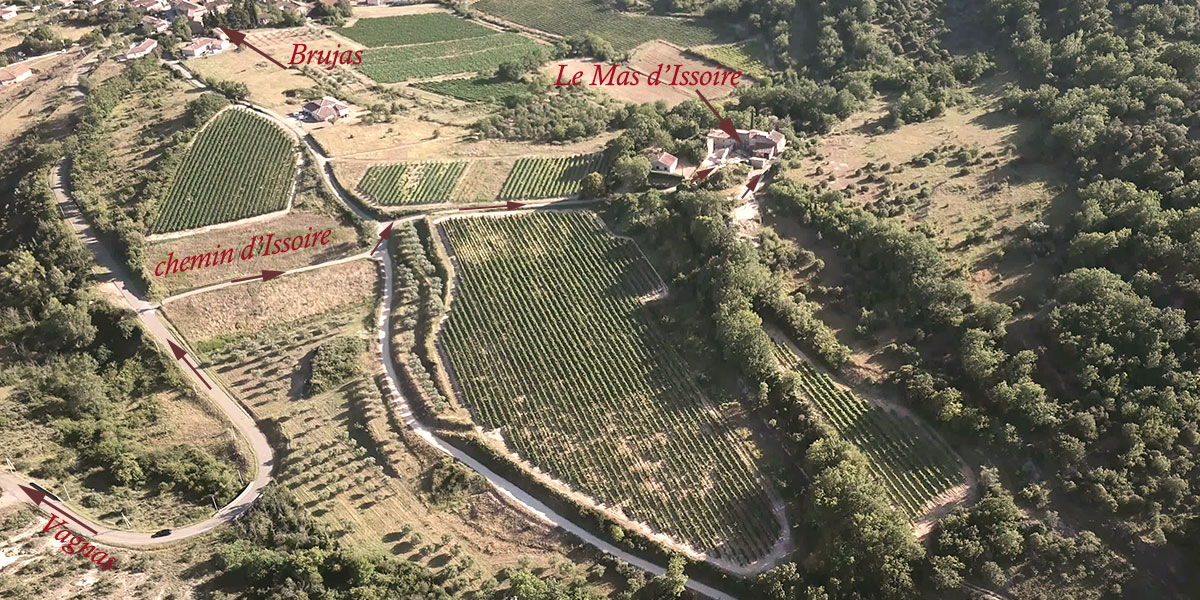
As you can see the farmhouse is located above Brujas…
In Vagnas take the D 255 for 5 km and 200m before Brujas turn right for 150m. Then follow the signs for “Chemin d’Issoire”.
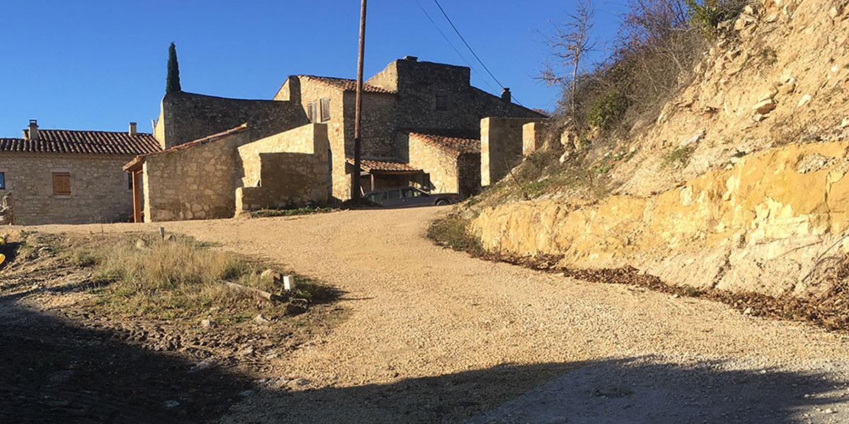
And then don’t be surprised! Arrival is at the back of the farmhouse where the remains of the old hamlet, partly still in ruins, are still visible…
Coordonnées GPS :
Here are the contact details to copy to facilitate your access :
44°21’28.0″N 4°19’08.8″E
And then the Google map to locate you geographically.
